c-loc Software
2008
Overview
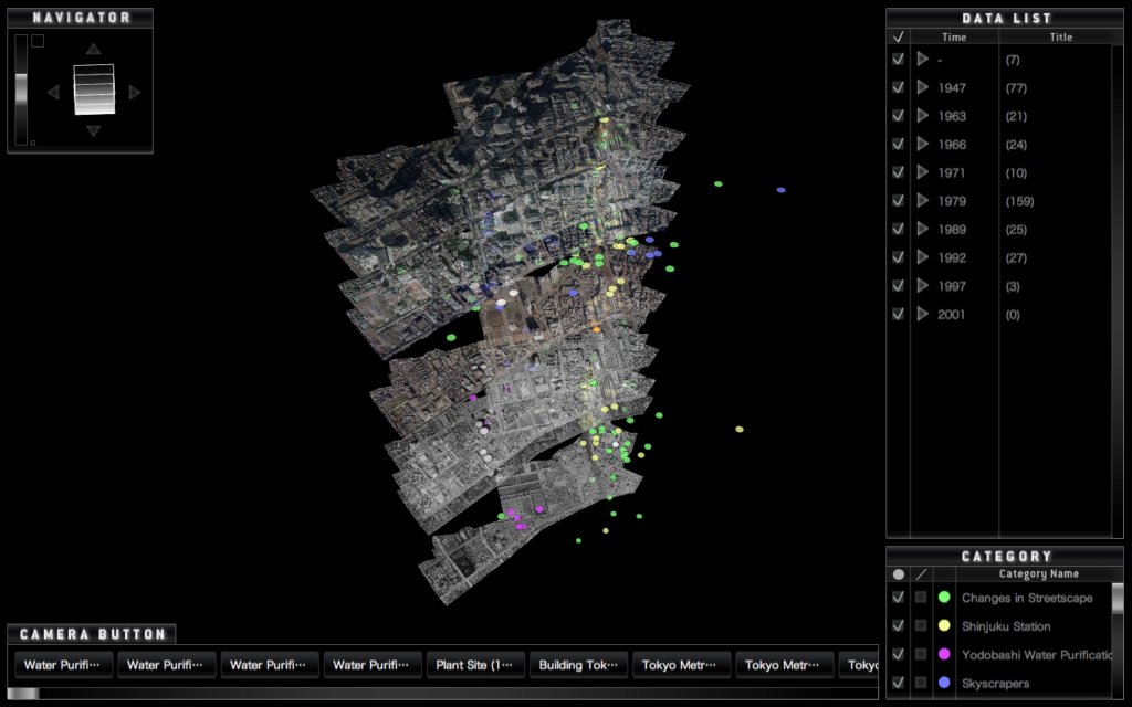
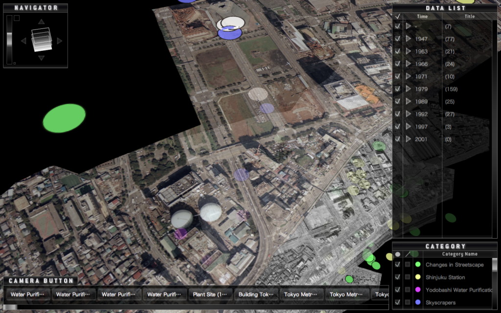
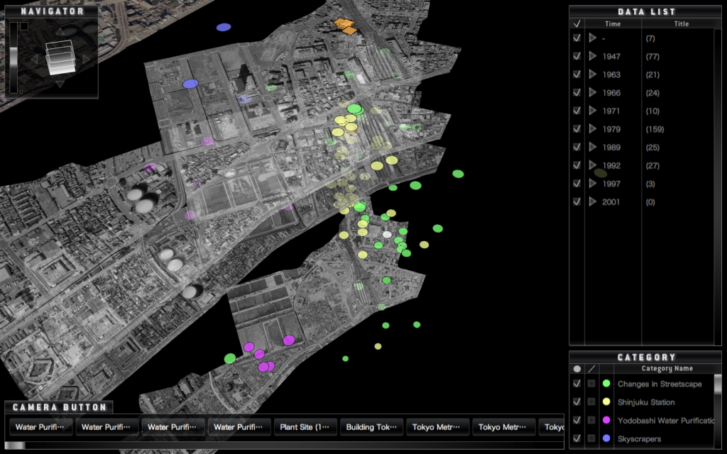
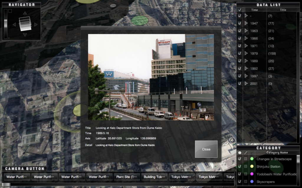
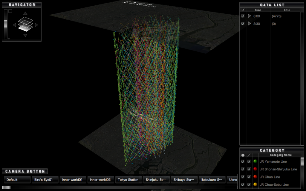
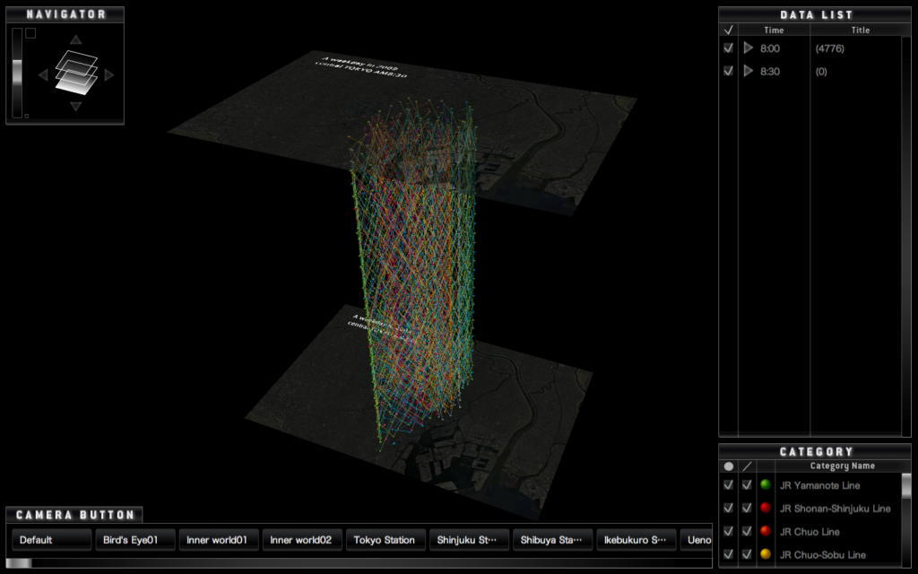
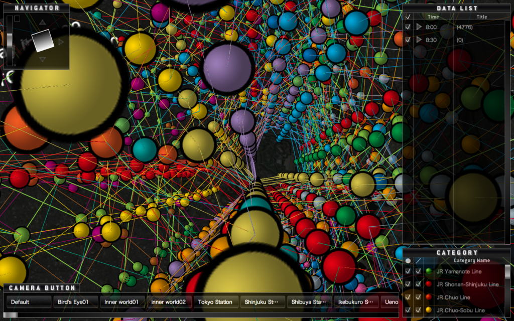
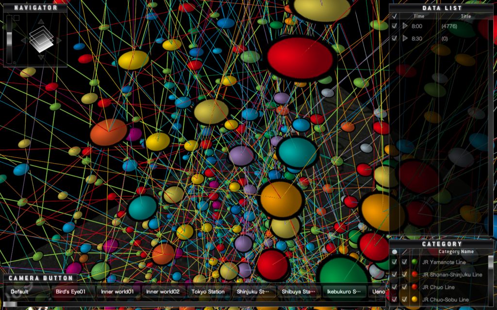
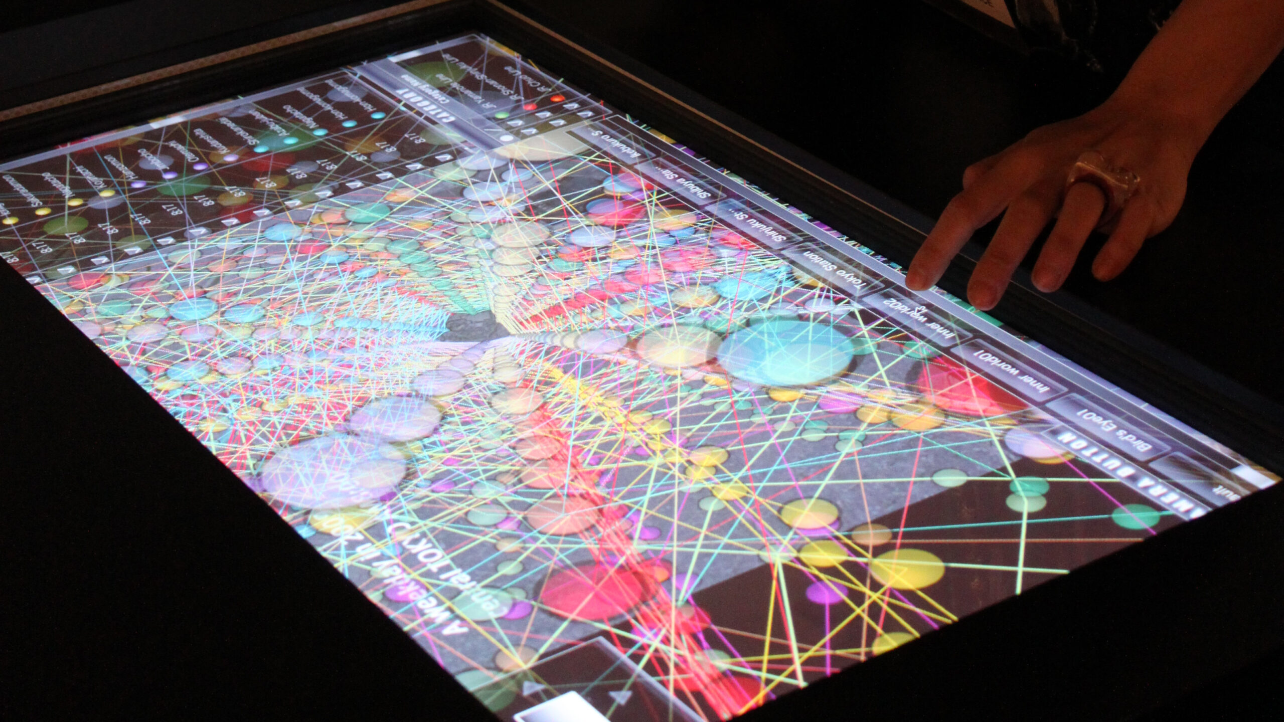
c-loc (read as clock) software is software for visualizing spatiotemporal data that can be displayed as a three-dimensional map in 3D space with time as the vertical axis and space as the horizontal axis. It is a program of the concept of time geography, and it is possible to display research results in fields such as history, cultural anthropology, and geography in an easy-to-understand manner. In addition, texts, sounds, images, and videos can be registered as objects, and categories and subcategories can be set for each object. Furthermore, these objects can be connected by a line, which is especially effective for visualizing the movement trajectory.
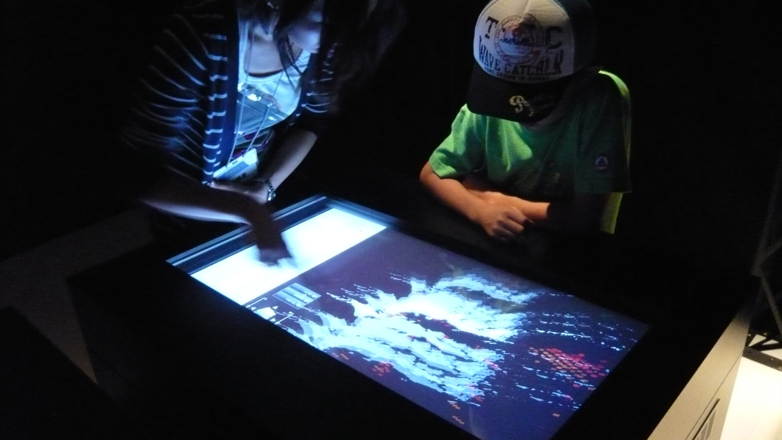
This software is expected to be used as an information kiosk in museums.
c-loc(クロックと読む)ソフトウェアは、時間を縦軸、空間を横軸として3D空間上に立体的なマップを表示できる、時空間データを視覚化するためのソフトウェアである。時間地理学の概念をプログラム化したものであり、主に歴史学、文化人類学、地理学などの分野の研究成果を分かりやすく表示することが可能である。また、文章、音声、画像、映像をオブジェクトとして登録することができ、各オブジェクトはカテゴリとサブカテゴリを設定できる。さらに、これらのオブジェクトは線で結ぶことができ、特に移動の軌跡の可視化などに効果を発揮する。
なお、本ソフトウェアは美術館や博物館等における情報端末としての用途が想定されている。
Credits
Custom Software written in Objective-C
Project Direction / Installation / Director of Photography / Editor: Yasushi Noguchi
Programming: Jun Masuda, Yasushi Noguchi
This work is supported by the Japan Science and Technology Agency
